 Thingiverse
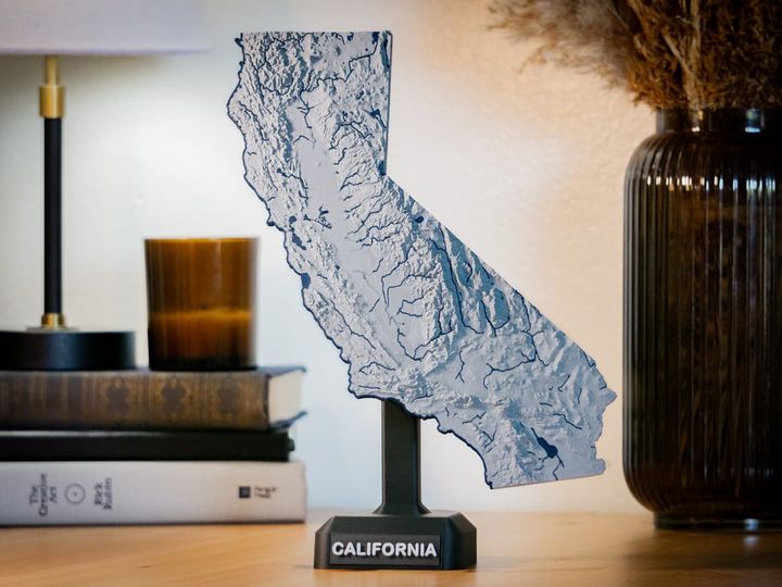
Santa Cruz Mountain Model, California
by GlobeMaker
37
Downloads
31
Likes
0
Makes
This quadrangle from the US Geological Survey is called Castle Rock Ridge. The town of Boulder Creek is in a valley in this 3D model. The database is called SDTS, the Spatial Data Transfer Standard. This has 30 meter data point spacing. If you want a 3D model of a quad that you like more than this one, it will cost you. There is also a 10 meter SDTS database.
The ThingView shows a blue simulation where the flatlands at top right are in Los Gatos, California and the valley pointing into the bot
The ThingView shows a blue simulation where the flatlands at top right are in Los Gatos, California and the valley pointing into the bot


Sign in to leave a comment
Sign in