MakerWorld
Geography
Voir le modèle
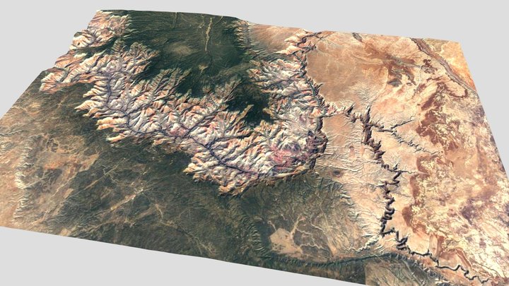
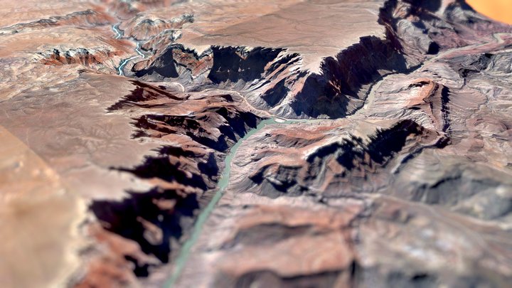
Colorado Linear Topographic Map
12
Téléchargements
5
Likes
1
Makes
This stunning 3D Colorado Elevation Map is a vibrant, tactile representation of the Centennial State’s dramatic topography. Highlighting the rugged Rocky Mountains with snow-capped peaks in white, rolling foothills in red, and lush valleys in green and yellow, it vividly showcases the state’s diverse landscapes. Blue waterways thread through the terrain, emphasizing Colorado’s intricate river systems. Framed with a sleek border. This piece is equal parts art and geography. Perfect for explorers, cartography enthusiasts, or as a centerpiece for any space, this map brings Colorado’s majesty to life! This 3d print is different from the original, I plugged it into Bambu studio and colored the different heights with extreme detail. I also created a simple box that surrounds the map, it really brings out the vibrant colors. And so you can hang it on you wall easier.
Vous avez imprimé ce modèle ? Connectez-vous et partagez votre make !
Connectez-vous pour laisser un commentaire
Se connecterPas encore de commentaires – soyez le premier !