 Sketchfab
places-travel
Vai al Modello
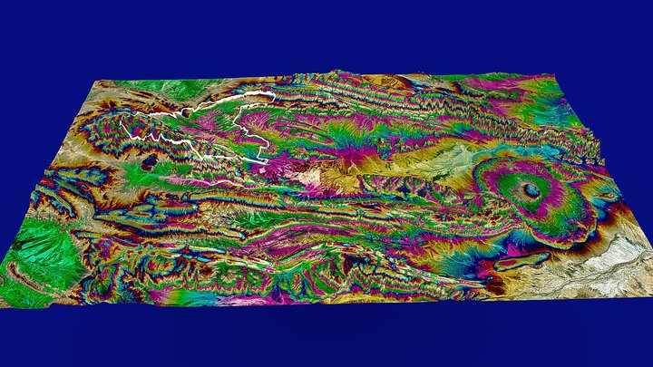
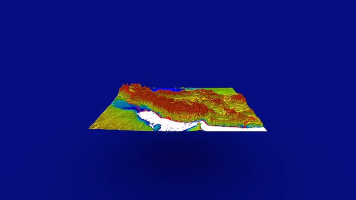
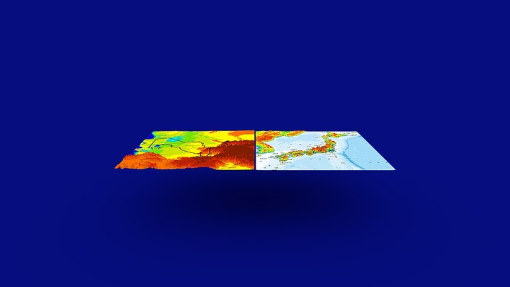
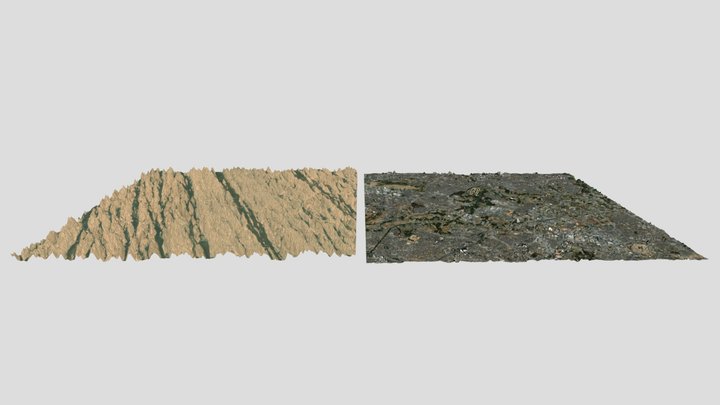
イランルート砂漠のヤルダン地形と花見川地形
0
Download
0
Likes
0
Makes
イランルート砂漠のヤルダン地形と花見川地形
面積はどちらも約10000ha
垂直比率:×5
Attributions(どちらも)
Generator: DEM Net Elevation API - https://elevationapi.com
Digital Elevation Model: AW3D30 OpenTopography - https://opentopography.org/
Imagery: Esri World Imagery - https://services.arcgisonline.com/ArcGIS/rest/services/World_Imagery/MapServer
3DF Zephyr v8.011でアップロード
面積はどちらも約10000ha
垂直比率:×5
Attributions(どちらも)
Generator: DEM Net Elevation API - https://elevationapi.com
Digital Elevation Model: AW3D30 OpenTopography - https://opentopography.org/
Imagery: Esri World Imagery - https://services.arcgisonline.com/ArcGIS/rest/services/World_Imagery/MapServer
3DF Zephyr v8.011でアップロード
Hai stampato questo modello? Accedi e condividi il tuo make!
Accedi per lasciare un commento
AccediAncora nessun commento – sii il primo!