printables · Sculptures
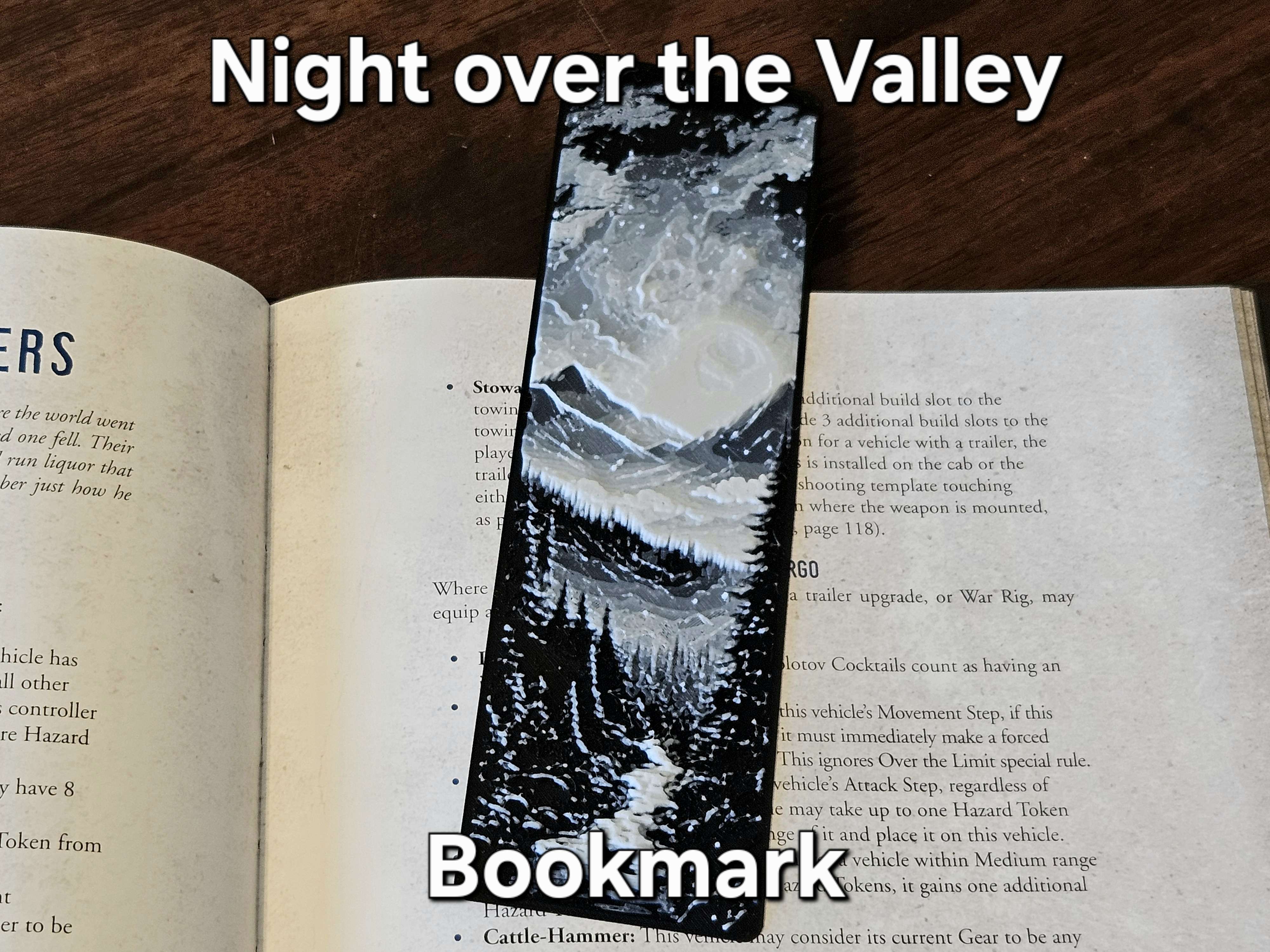
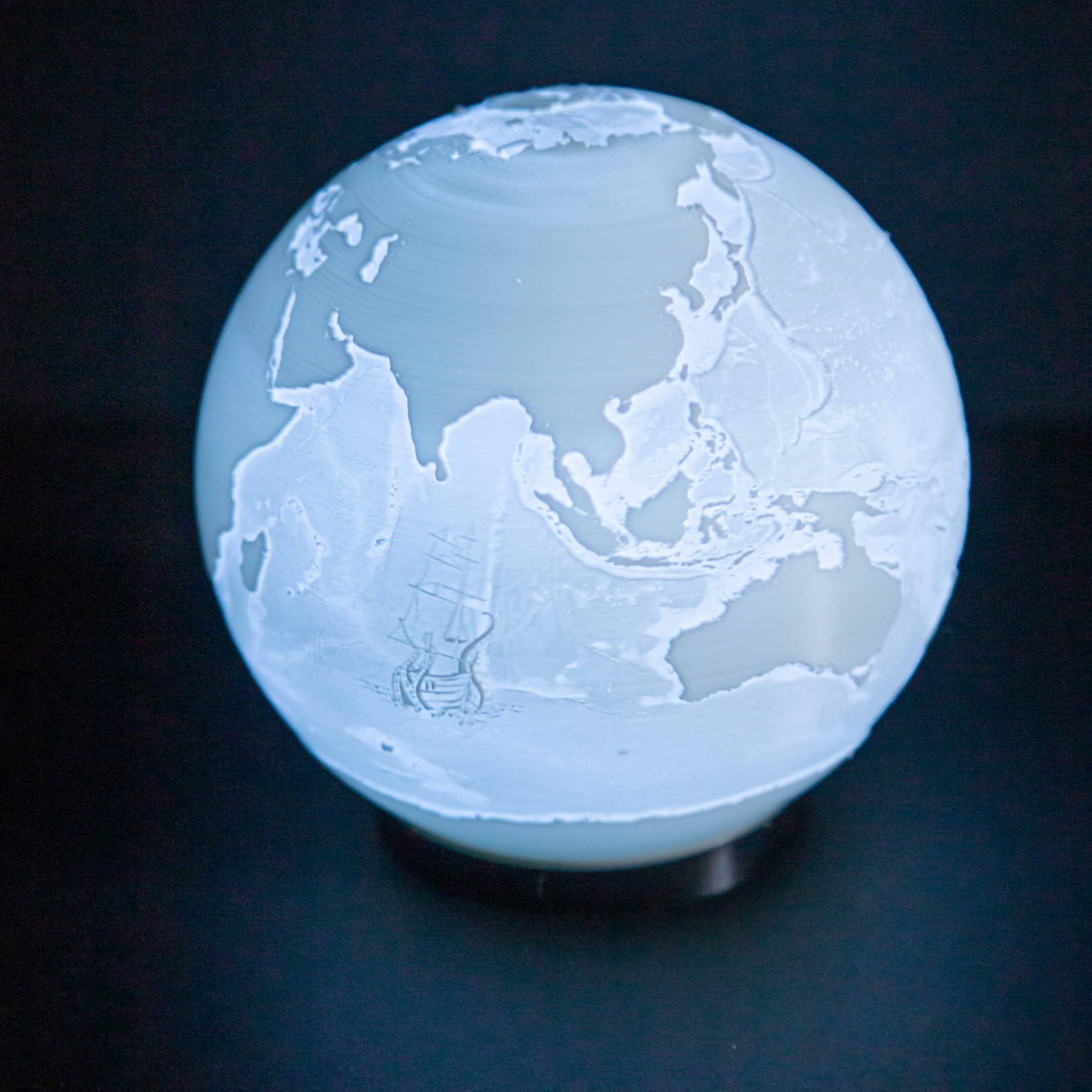
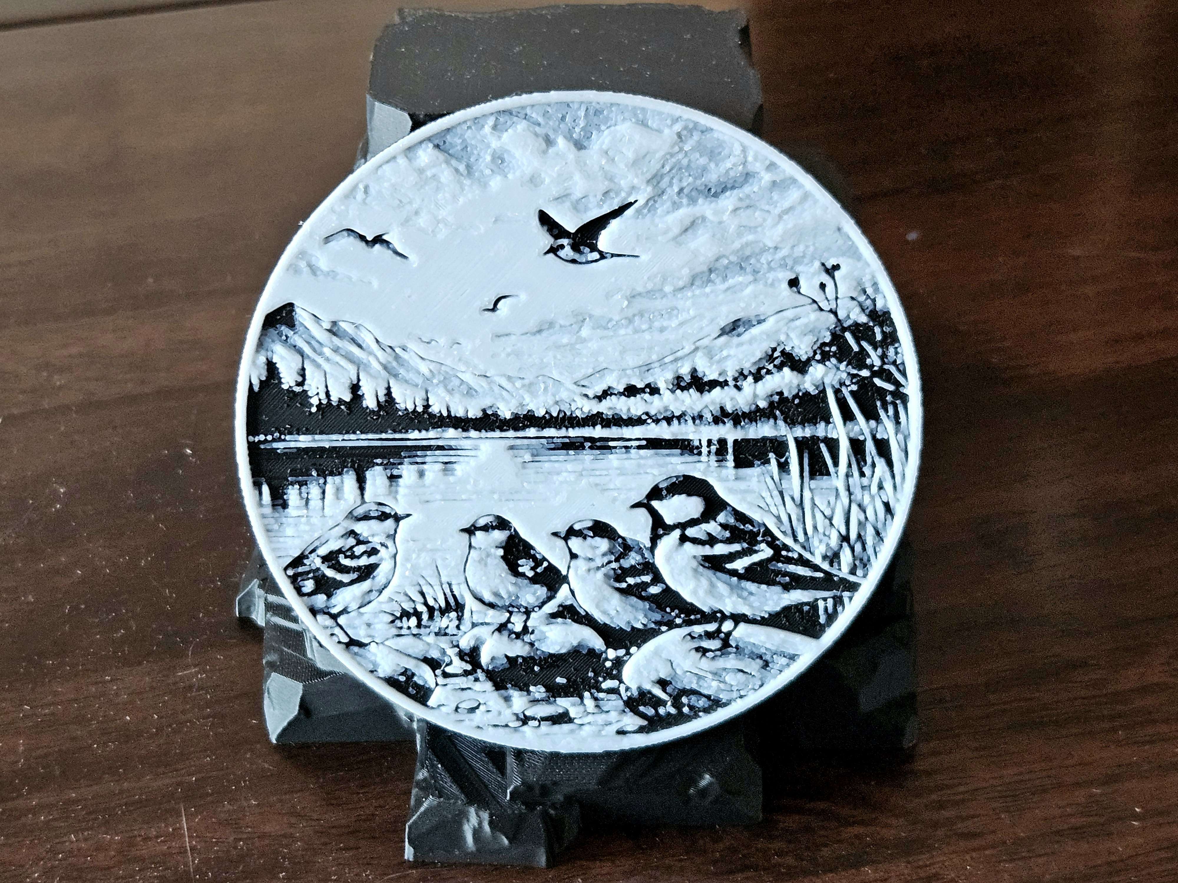
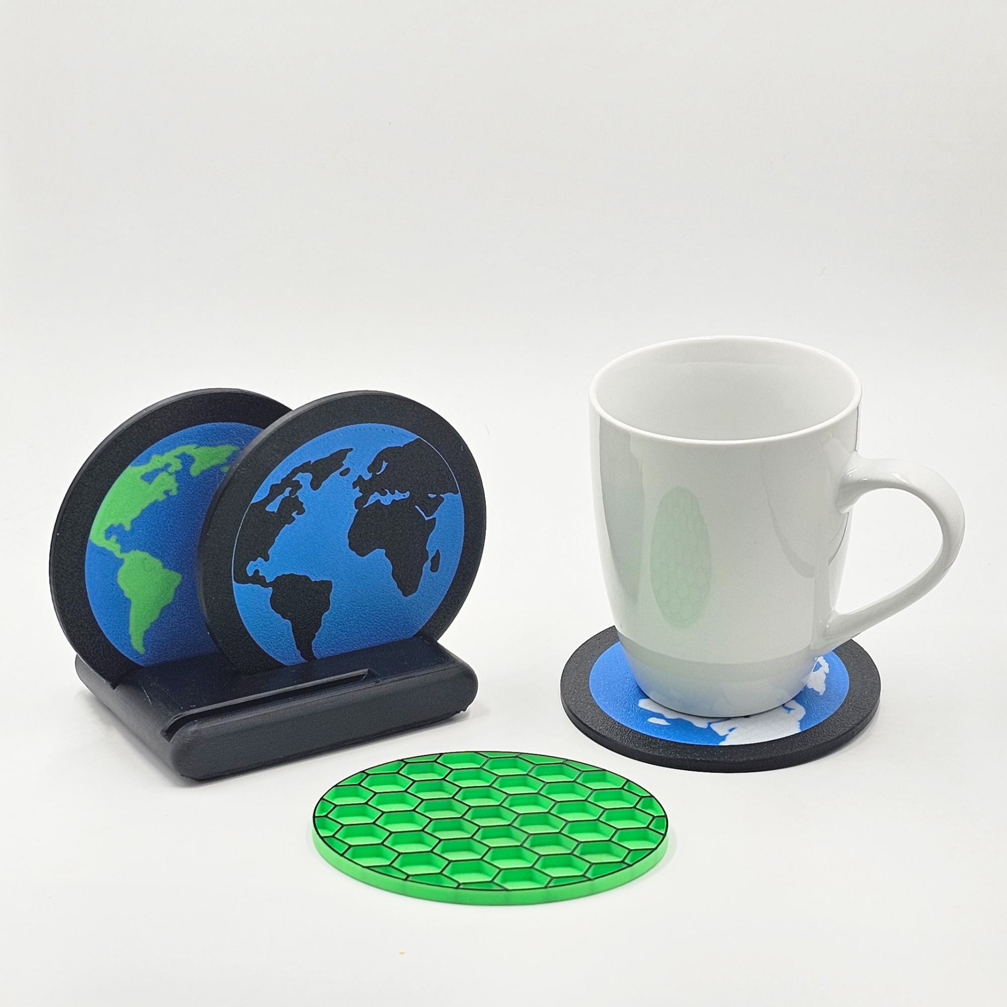
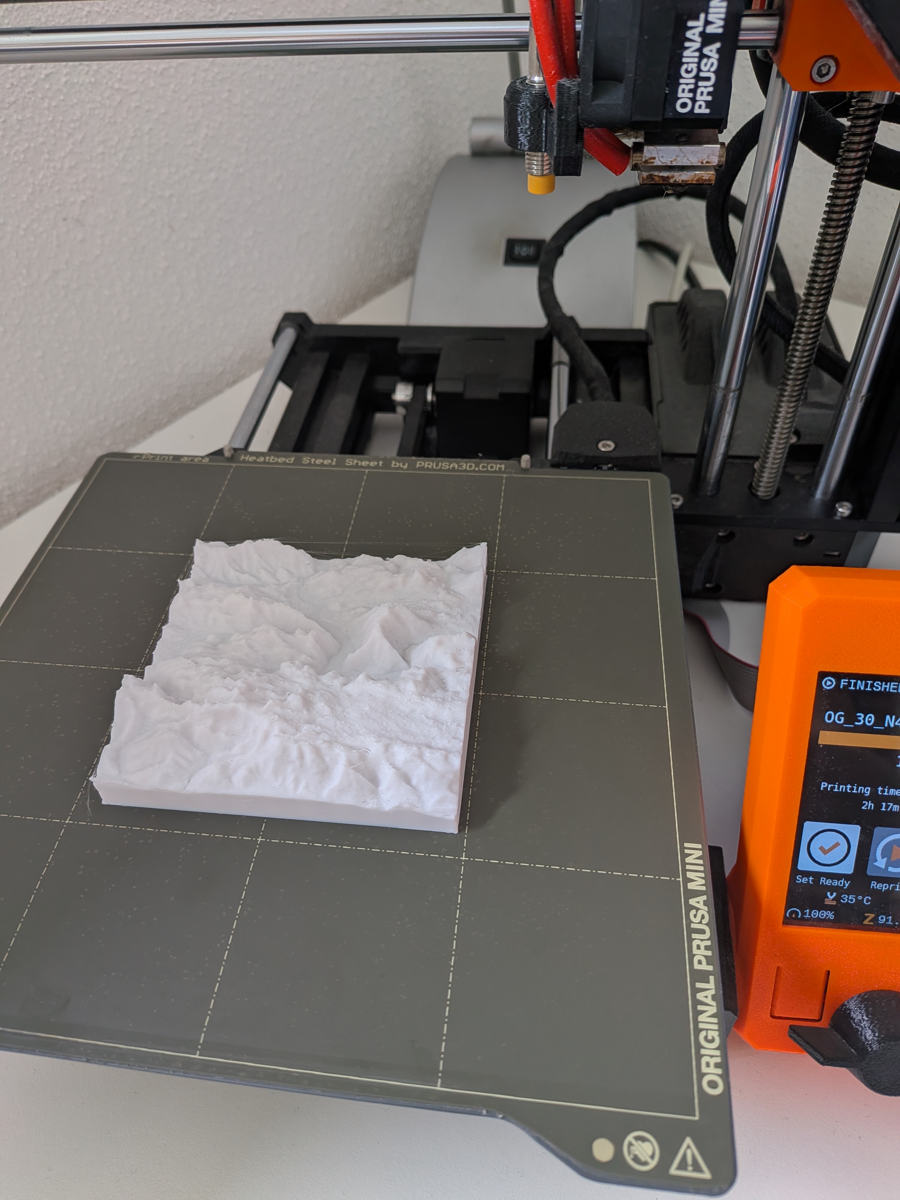
Earth Topography and Landscape Prints
Download Modelby Wolfgang
5
Downloads
4
Likes
0
Makes
2
Kommentare
The PeakPrinter project uses ESA Copernicus Satellite data to generate a STL model out of any given earth position.