Thingiverse
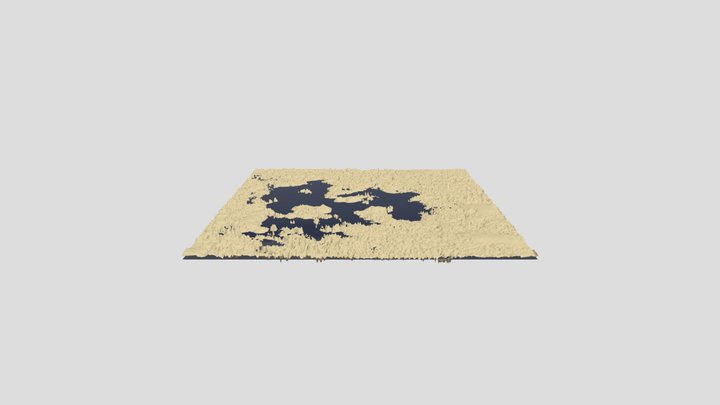
Slovakia topographic 3D map
di PavolZiacek
4
Download
5
Likes
0
Makes
3d model of Slovakia generated by Touch terrain page: https://touchterrain.geol.iastate.edu/main
Kml geographic data were generated manually in Google Earth.
See attached files if you want to use them on your own.
The attached stl files are in various vertical scales.
I recommend you use stl with a vertical scale 10 to get a model with nice terrain differences.
Inspired by : https://www.zive.cz/clanky/vytiskli-jsme-barevnou-ceskou-republiku-ukazeme-vam-krok-za-krokem-jak-se-to-dela/sc-3-a-220682/default.aspx
Hai stampato questo modello? Accedi e condividi il tuo make!
Accedi per lasciare un commento
AccediAncora nessun commento – sii il primo!